Fourth Stage “Lower Lusatian Mining Tour”: Vetschau - Cottbus
Length: 39 kilometres
Start: Vetschau
Finish: Cottbus
Logo/route sign: red devil with bicycle
Arrival: Take the RE2 (Cottbus) from Berlin central station to Vetschau (about 1 hour).
Departure: From Cottbus, take the RE2 (Wittenberge) regional express train to Berlin central station (about 1.5 hours).
Route: Vetschau, Lobendorf, Tornitz, Briesen, Wüstenhain, Casel, Illmersdorf, Koschendorf, Putgolla, Kolkwitz, Cottbus
Points of interest/background information:
- Vetschau: Wendish-German twin church, castle, White Stork Centre
- Laasow (detour): floating house on Lake Gräbendorfer See
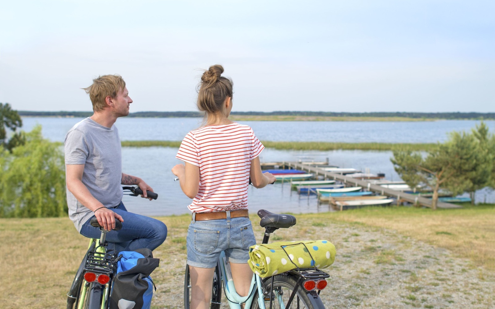
- Casel: Lake Gräbendorfer See with bird sanctuary island, environmental and meeting centre
- Illmersdorf: Church with mummy tomb
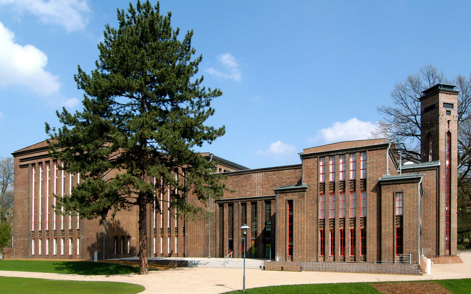
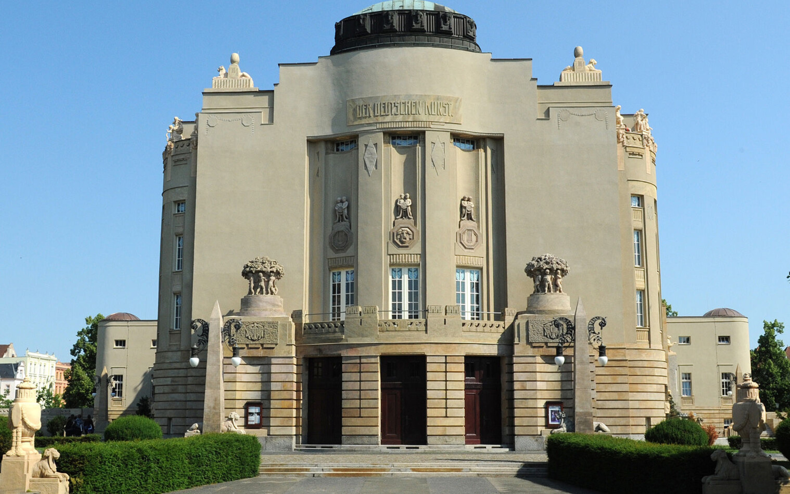
- Cottbus: Art museum/diesel power station, historic town centre, state theatre, Wendish museum, airfield museum, Branitz Prince-Pueckler Park
- Prince Pueckler Cycle Path
- Gherkin Cycle Route
- Spree Cycle Path
- Tour Brandenburg
- Oder-Neiße Cycle Path
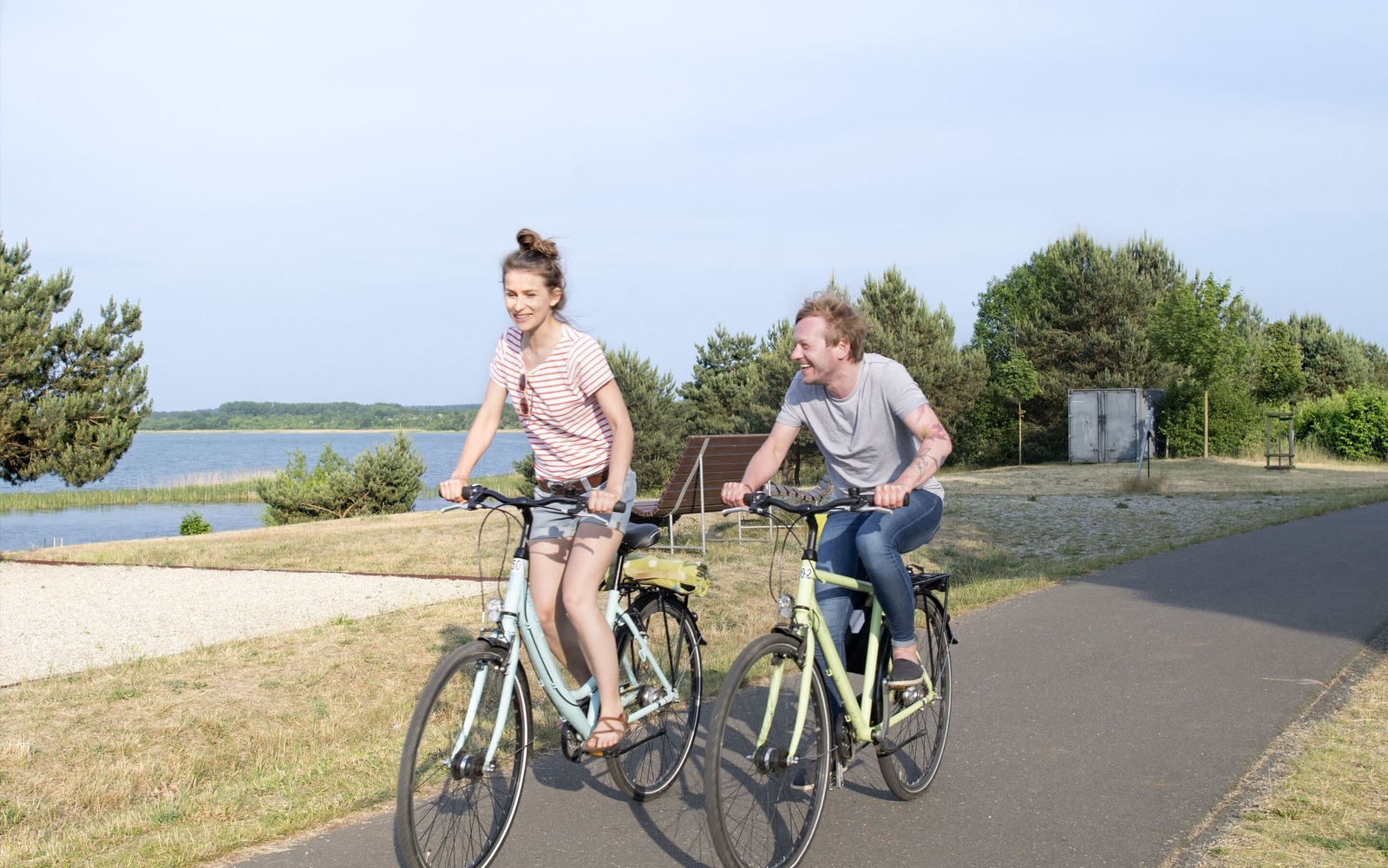
mostly asphalted cycle paths and cycle roads, some sections also on side roads, unpaved paths or paved roads, some root break-ups, few gradients
Maps/Literature:
- Upper Spreewald-Lausitz district, 1:50,000, Sachsen Kartographie GmbH, ISBN 978-3-86843-058-5
- Lusatian Lakeland, 1:50,000, Sachsen Kartographie GmbH, ISBN 978-3-86843-021-9
- Niederlausitz/Lausitzer Seenland, 1:75,000, ADFC regional map, BVA Verlag, ISBN 978-3-87073-783-2


Tour start
Schloßstraße03226 Vetschau
Tour end
Puschkinpromenade 1603042 Cottbus
Contact address
Am Stadthafen 201968 Senftenberg
Contact details
Contact: Tourismusverband Lausitzer Seenland e.V.Telephone: 03573-7253000
Fax: 03573-7253009
Email: info@lausitzerseenland.de
Website: www.lausitzerseenland.de
Diese Karte kann nicht von Google Maps geladen werden, da Sie in den Datenschutz- und Cookie-Einstellungen externen Inhalten nicht zugestimmt haben.
