Second Stage “Lower Lusatian Mining Tour”: Plessa - Calau
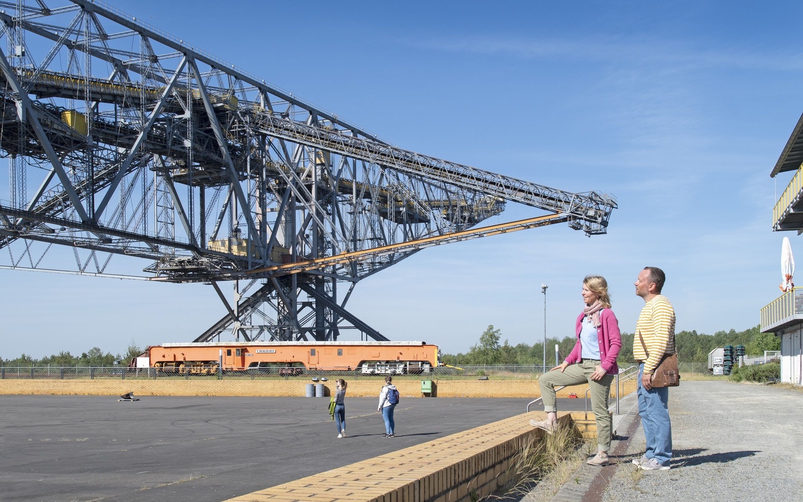
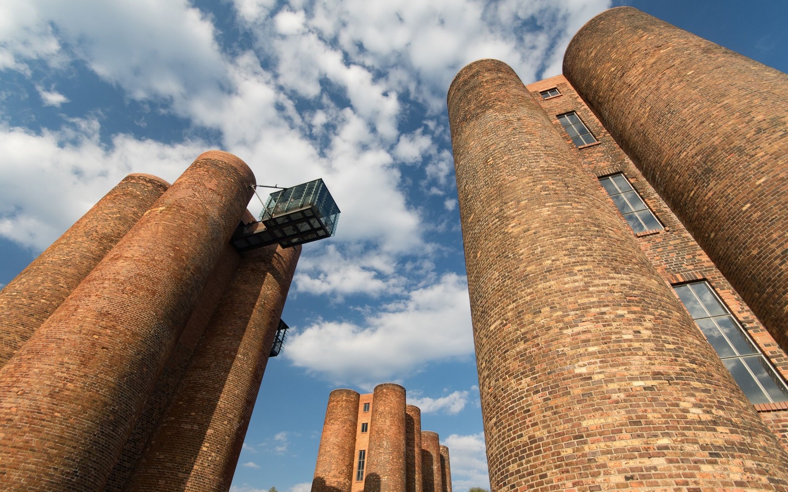
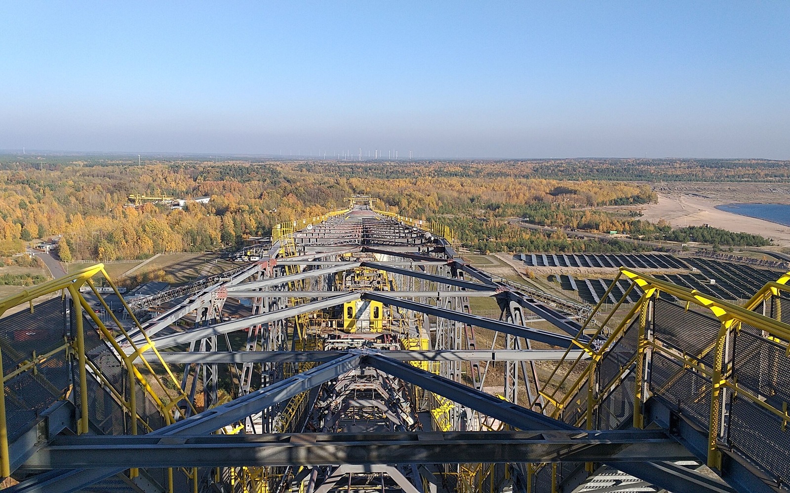
You can start your day with a visit to the Art Casting Museum and the bio-towers in Lauchammer. They are the only remaining part of a huge coking plant. A detour takes you to the F60 visitor mine. The largest mobile technical facility in the world is now a landmark of Lusatia. The 500 metre long steel structure of the former overburden conveyor bridge is affectionately known as the ‘horizontal Eiffel Tower’. The route continues through the Calauer Schweiz plateau with its colourful mixed forests, moors and stream valleys in the Niederlausitzer Landrücken Nature Park. The destination of this stage is Calau, the birthplace of the Kalauer.
Length: 72 kilometres
Start: Lauchhammer
Finish: Calau
Logo/route sign: red devil with bicycle
Arrival: From Berlin main station take the RE2 to Cottbus. From there take the RE18 to Ruhland and from here continue with the RB49 (Falkenberg / Elster) to Lauchhammer (approx. 2.5 hours).
Departure: From Calau take the RB24 (Eberswalde) to Berlin Ostkreuz. From here continue with the S5 to Berlin Central Station (approx. 2.5 hours).
Route: Lauchhammer, Kostebrau, Klettwitz, Meuro, Freienhufen, Barzig, Lug, Gosda, Cabel, Werchow, Calau
Detour to the F60 visitor mine in Lichterfeld: Klettwitz, Herrnmühle, Annahütte, Henriette, Sallgast, Klingmühle, Lichterfeld
Points of interest/background information:
- Lauchhammer: Art casting museum, art foundry, bio towers
- Lichterfeld: F60 visitor mine (detour), NABU (German environmental organisation) Grünhaus project office
- Klettwitz: EuroSpeedway Lausitz, Schacht Klettwitz mining monument
- Meuro: “Blauer Bagger” technical monument, Hörlitz observation tower
- Zwietow: former post mill, old mill
- Werchow: Goldborn, the largest natural spring in the Niederlausitz region
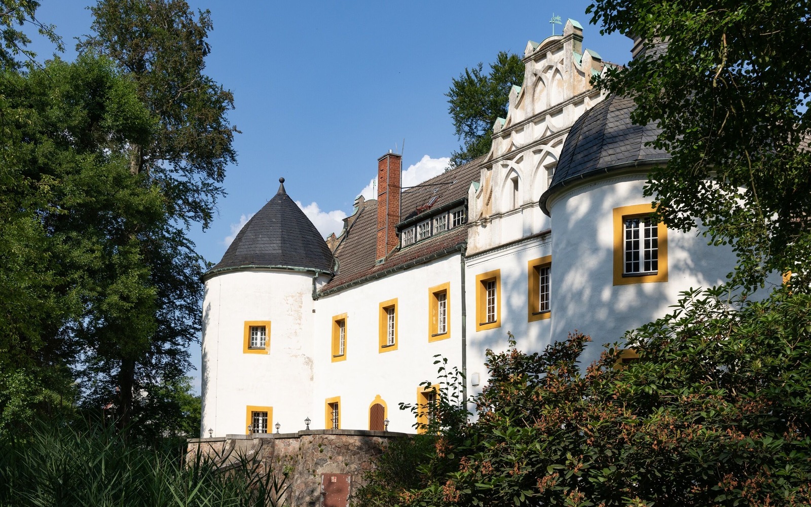
- Calau: Local history museum, Calauer Schweiz region
- Prince Pueckler Cycle Path
- Eine Heidetour ins violette Naturschauspiel (Heathland Tour into a Purple Spectacle of Nature)
- Along the Stork’s Path
- Schradeln (Schraden Cycling Tour)
mostly asphalted cycle paths and cycle roads, some sections also on side roads, unpaved paths or paved roads, some root break-ups, few gradients
Maps/Literature:
- Upper Spreewald-Lausitz district, 1:50,000, Sachsen Kartographie GmbH, ISBN 978-3-86843-058-5
- Lusatian Lakeland, 1:50,000, Sachsen Kartographie GmbH, ISBN 978-3-86843-021-9
- Niederlausitz/Lausitzer Seenland, 1:75,000, ADFC regional map, BVA Verlag, ISBN 978-3-87073-783-2


Tour start
Bahnhof Lauchhammer01979 Lauchhammer
Tour end
Kirchstraße 1203205 Calau
Contact address
Am Stadthafen 201968 Senftenberg
Contact details
Contact: Tourismusverband Lausitzer Seenland e.V.Telephone: 03573-7253000
Email: info@lausitzerseenland.de
Website: www.lausitzerseenland.de
Diese Karte kann nicht von Google Maps geladen werden, da Sie in den Datenschutz- und Cookie-Einstellungen externen Inhalten nicht zugestimmt haben.
