Hike through the Kmehlen mountains
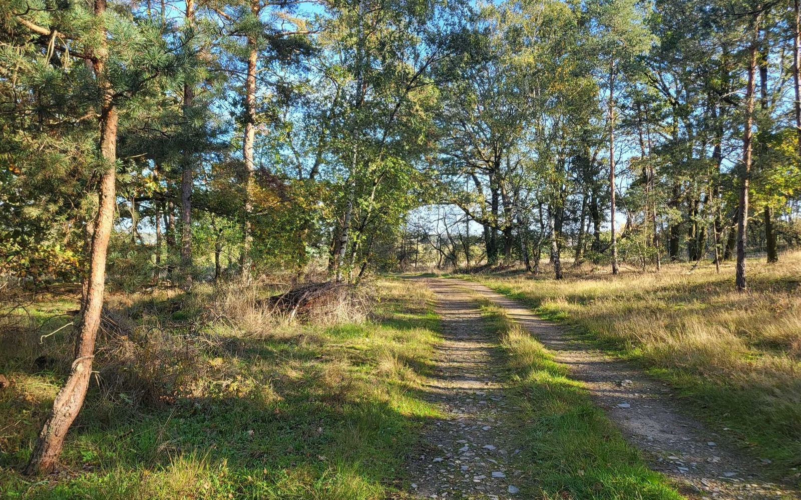
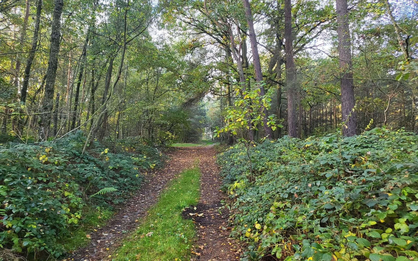
The hike starts in Großkmehlen and follows signposted forest paths along the ridge. The trail leads through deciduous forest, which provides shade in summer and displays impressive foliage colours in autumn.
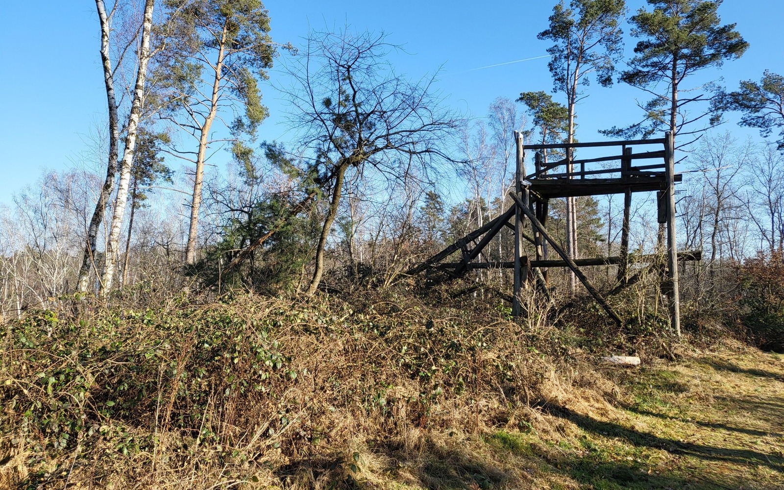
Historical elements are also part of the hike. Remnants of the former ski jump, which lies on the path, can still be seen, including the clear track of the former landing slope. Further along the route is the autocross track of the "Am Kutschenberg" race track, where various autocross races are held every year on gravel and natural surfaces.
Length: 9 km (duration approx. 2.5 hours)
Start/finish: Richters Gasthof
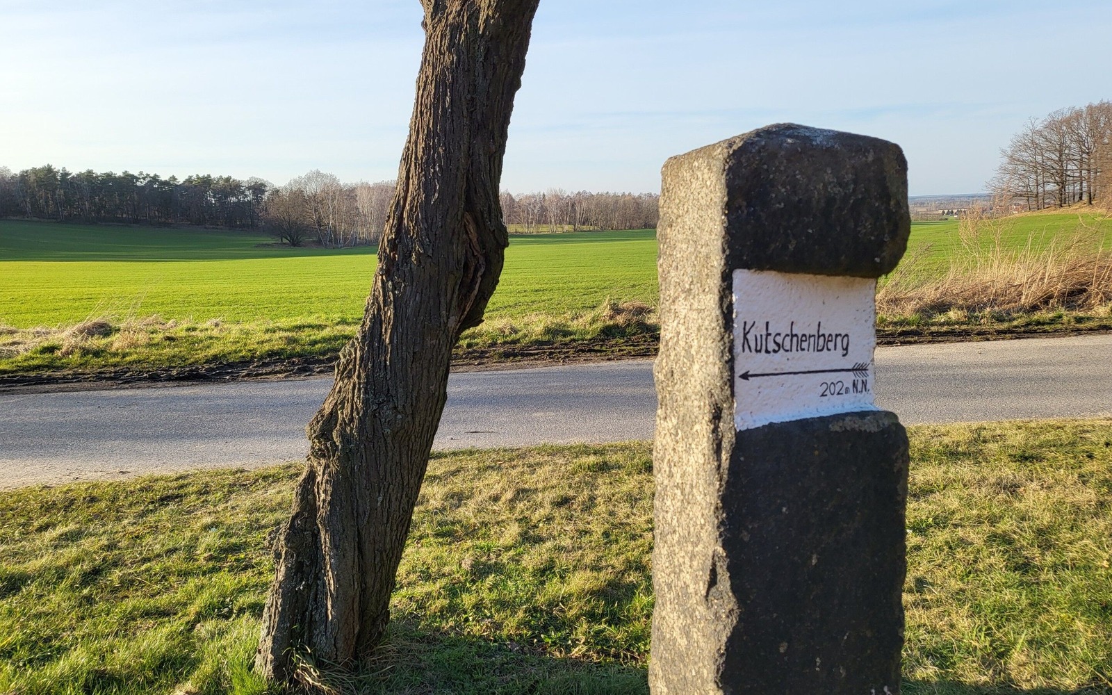
Route: Großkmehlen - Schafberg - Dietzenberg - Kutschberg - autocross track - Großkmehlen
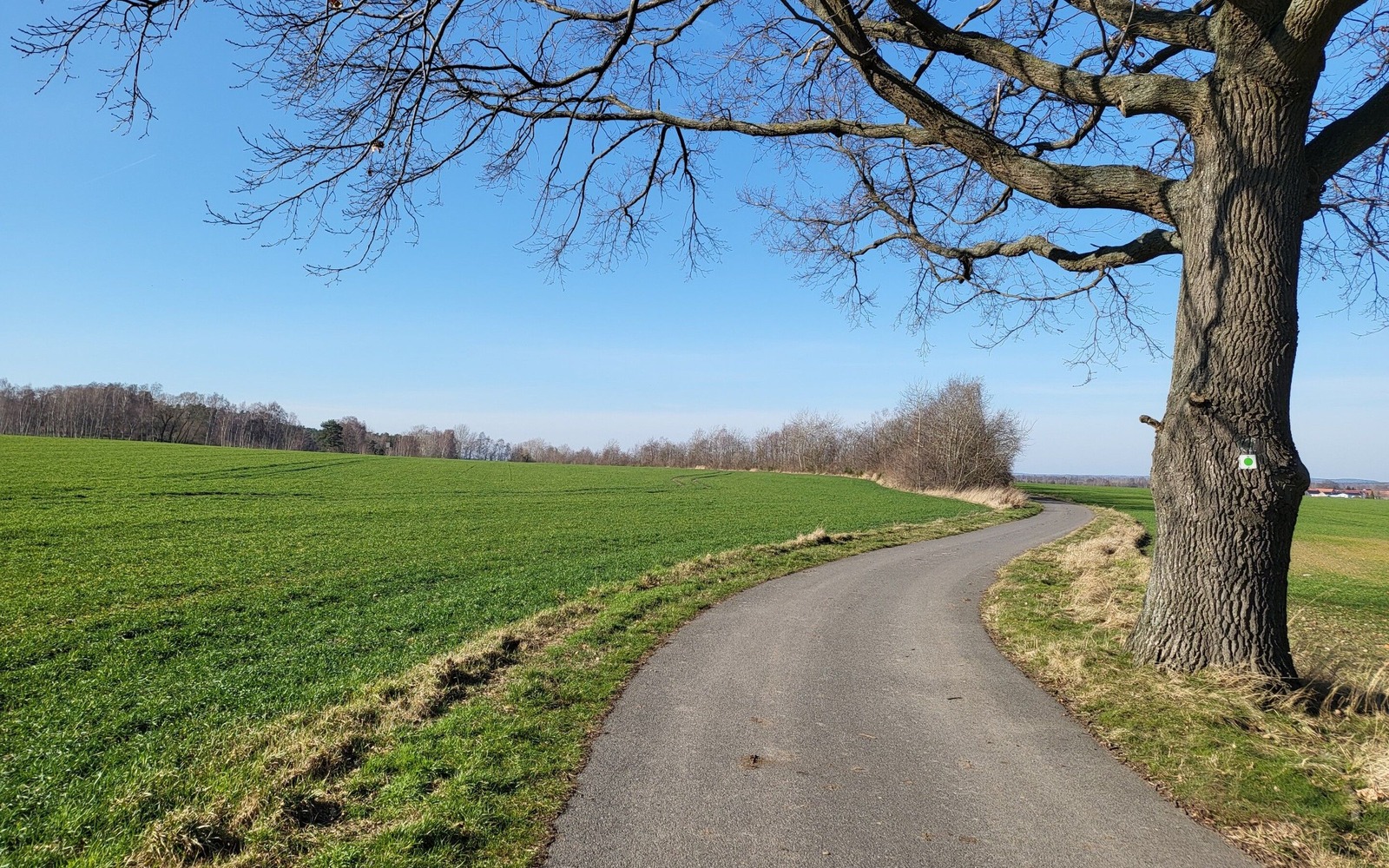
Route markings/logo: green dot on white background
Arrival and departure:
- By car: via the A13 motorway to Ortrand junction, then follow signs to Großkmehlen, car park available at the starting point
- By train: to Ortrand railway station, from there in the direction of Marktplatz and then follow the "red line on a white background" markings to Kutschenberg
Worth seeing:
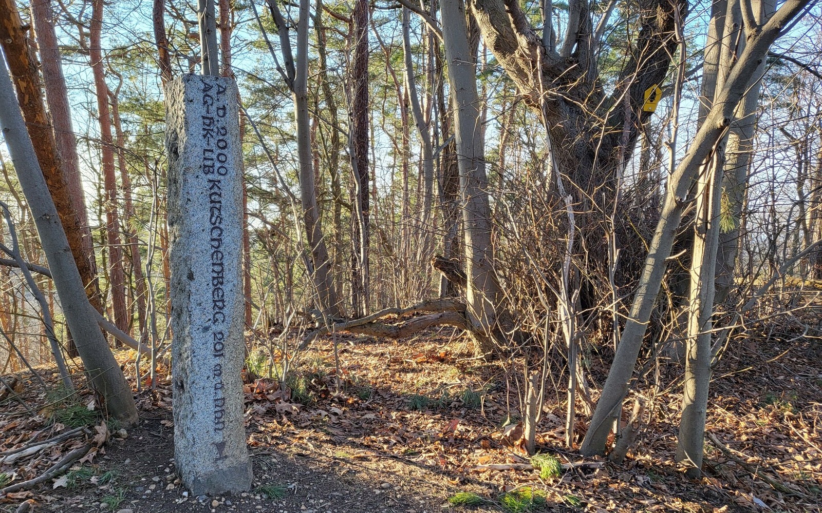
- Kutschenberg is the highest elevation in Brandenburg
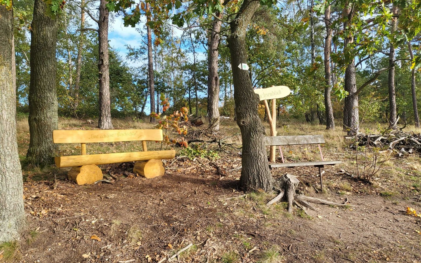
- Viewpoint "Sachsenblick"
- Old ski jump
- Autocross track
- Old ski hut (detour)
- Großkmehlen moated castle with park (detour)
- Richters inn
- Hiking and cycling map 1:50,000, Großenhainer Pflege - Dresdner Heidebogen - Der Schraden, publisher: Sachsen Kartographie, 2021, ISBN: 978-3-86843-012-7



Address
Am Stadthafen 201968 Senftenberg
Contact details
Telephone: 03573-725300Email: info@lausitzerseenland.de
Website: www.lausitzerseenland.de/wandern
Diese Karte kann nicht von Google Maps geladen werden, da Sie in den Datenschutz- und Cookie-Einstellungen externen Inhalten nicht zugestimmt haben.
